Residents
are encouraged to take the opportunity to consider storm preparedness
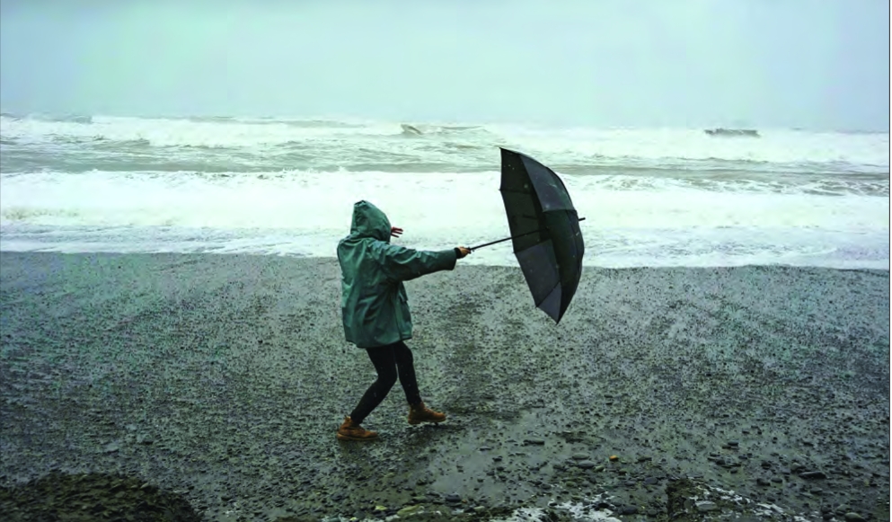
measures for the next time a big storm does come to the Boston area.Despite early predictions, post tropical storm Debbie left the Boston area — and Massachusetts as a whole — largely undisturbed, with some rain but most of the impact falling in eastern New York and northern New England.
But residents are encouraged to take the opportunity to consider storm preparedness measures for the next time a big storm does come to the Boston area.
“When you talk about preparedness, you’re thinking about, ‘What do I need if I cannot leave my house for several days?’” said Michael Hart, a spokesperson at the Federal Emergency Management Agency.
He said many of the preparedness steps that are prudent ahead of a major storm, like stocking up on flashlights and batteries; putting together a potential plan for how to evacuate; collecting important documents in one place; keeping a supply of cash in case you can’t access an ATM or use a credit card; and having enough food and canned goods — and a manual canopener — on hand are ones that residents can prepare for now and have on hand in case a big storm does sweep across the region.
It’s also a matter of considering how to look out for friends, family and community members who might be at greater risk in a storm.
“Do you have anybody in your circle of life who you would be assisting, who may have a disability that
they need some extra care, some extra assistance?” he said. “These are
all things that people should be thinking about now, as far as
preparedness.”
And
even when forecasts predict a storm will take a path away from the
Boston area, Hart warned residents to “not take the storm lightly.”
“Wherever
it can rain, it can flood,” he said. “People just need to take all
precautions right now for their safety and preparedness, because that
storm could take a turn. We just never know.”
Concerns
about the flooding that a storm like Debbie could have brought aren’t
new for groups in the region. The Metropolitan Area Planning Council,
the
regional planning agency for the Greater Boston region, has been focused
on stormwater flooding and advocacy around the issue, alongside others
like the Charles River Watershed Association and the Conservation Law
Foundation.
At
a press briefing in March, the groups flagged concerns around
stormwater and groundwater flooding — flooding caused by precipitation
overwhelming storm drains or raising water tables until they flood
basements and low-lying areas. They’re the types of flooding that the
groups said are often not as widely discussed.
“Not
all flooding is created equal. Not all flooding is from the same causes
or has the same kind of impacts,” said Martin Pillsbury, environmental
director at the Metropolitan Area Planning Council, at that briefing.
Flooding is likely to get worse.
A
changing climate has increased the likelihood of bigger storms that
bring more rain in a short period of time. Research from GLISA, a
University of Michigan and Michigan State University team affiliated
with the National Oceanic and Atmospheric Administration, found that
between 1958 and 2016, the amount of rain falling in the heaviest 1% of
storms in the northeast increased by 55%.
Part
of the concerns the groups have around the flooding from storms is that
information around where and how it impacts communities is lacking.
Currently, most of the information around flood risks comes from FEMA
flood maps that are based on flooding along rivers and coastlines.
Those maps are made using historical records of
flooding and are used to set building requirements or assess flood
insurance requirements. They’re also the most commonly used reference
for where flood risk exists.
“This
is a big deal. FEMA maps are our primary source of flood-risk
information for communities and individuals,” said Rachel Bowers, an
MAPC data analyst who focuses on climate data, at the briefing. “Most
officials and residents are unprepared for widespread flooding outside
of flood zones, and it also means that almost all of the flooding that
occurs is in areas that are not covered by flood protection
regulations.”
In a
city like Boston, where so much of built-up urban areas are constructed
on filled wetlands, part of the risk comes from water looking to go
where water historically flowed.
“There’s
this major relationship between where water once was and where water is
returning with climate change,” said Dira Johanif, a Charles River
Watershed Association senior climate resilience associate, at the press
briefing.
Emily Norton, executive director of the watershed association, pointed to flooding in Newton last August.
Those
flash floods, which swept through the area around the Newton Free
Library, caused damage and totaled cars. Before it was filled in, that
area used to be a wetland.
“We’ve
really changed things,” Norton said. “Now that we’ve changed things so
much, how do we change them back? Not to get rid of our built
environment, obviously, but how do we bring nature back into our built
environment in such a way that we are managing water more the way nature
was managing it?”
