The “Sustain Springfield Green Map” at llcc. edu/sustain-springfield is a work in progress, but then all good web-based resources are. The online map, launched by the Lincoln Land Community College Green Center and Urban Action Network, will guide users to more than 400 “green” sites and businesses, including community gardens, farmers markets, recycling centers, local-food restaurants, electric car charging stations and even where to recycle hearing aids.
Do you know something that should be on the map that isn’t? More sites can easily be added. “As the data grows, the usability grows,” says Rey DeCastro, Lincoln Land’s instructor for GIS – geographic information systems – mapping. The hope is also that as more people use the site, more data will be added until the map becomes what one of the project’s leaders called “Yellow Pages on steroids.”
“This map will let people know who’s doing what related to sustainability,” said Wynne Coplea, environmental specialist who works with community colleges. “It will also let people see things they haven’t thought of before. People may not know they need this information until they get it,” she said. Coplea, the former waste and recycling coordinator for the city of Springfield, had the idea for such a map while she worked with the city, but the project never got off the ground. In her present position she worked on the idea with Sheila Stocks-Smith of Urban Action Network, which provided a small grant. Dominican Sisters of Springfield also provided a seed grant.
Now that the interactive map has been created and launched, who will maintain it by updating information and adding more? Those involved with the project say they hope an answer will emerge after the public sees how useful it can be. There may be a way developed for organizations like farmers markets to update their own information. Or “green” businesses may decide to provide money for updating.
Dean Butzow, professor of geography at LLCC, said the Sustain Springfield Green Map shows how GIS is a technology with real-world practical applications. “GIS is a powerful technology, and geographers are increasingly using it in a variety of areas, such as precision farming, real-time traffic tracking and urban planning to help us make decisions in our complex world,” Butzow said.
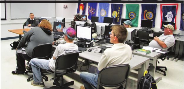
The Sustain Springfield Green Map was explained Monday evening during a meeting of DeCastro’s Advanced GIS class, where it was created last year by a student, Jordyn Lahey, who won an award for the project. DeCastro said he’s been working with GIS and teaching it for 20 years, and he’s seen interest grow markedly in the last five years. “GIS has become more trendy,” he said. Interest in geography is growing as technology becomes more sophisticated and the public becomes more aware of information and new ways to use it. For example, DeCastro said, the city of Chicago has a public website where the city “dumps all its data,” including where and when streets will be plowed after a snowstorm. “Someone has taken the information to make an app that lets you know when to move your car” that is parked on the street.
“Little things like that” improve the quality of life through GIS, DeCastro said, as will a project one of his students is working on now. The student is now busy mapping locations of winners of this year’s Illinois Times Best of Springfield survey, so users will soon know what’s best where.
Contact Fletcher Farrar at [email protected].
